| FTA Submission Reports
-
Landscape Visual Simulations - July 2025
Prepared for Matakanui Gold Limited (Santana subsidiary), by Boffa Miskall, July 2025.
For the first time, Central Otago residents can see how the proposed Bendigo–Ophir Gold Project will look before, during, and after mining, thanks to new visual simulations released by Santana Minerals. Developed by NZILA-registered landscape architects, the images use rigorous 3D modelling and real photography to show “worst-case” views from public vantage points.
-

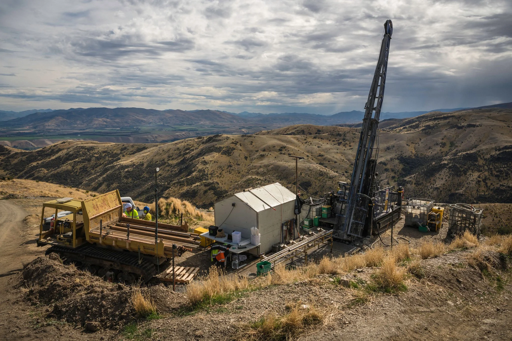
Economic Impacts of the Bendigo Ophir Gold Project
The Bendigo-Ophir Gold Project will deliver a major boost to Central Otago’s economy — adding an average of $360 million in GDP each year and supporting around 350 high-paid local jobs, with many more created through flow-on effects. Over its life, the project is expected to generate $5.8 billion in economic value and $1.8 billion in government revenue, strengthening household incomes, local businesses, and regional prosperity across Otago.
-

Heritage Summary and Full Report
Bendigo-Ophir Gold Project: Heritage Summary
Prepared by: New Zealand Heritage Properties Ltd (NZHP) for Matakanui Gold Ltd (MGL)
Overview
Matakanui Gold Ltd commissioned NZHP to assess and manage heritage and archaeological values across the Bendigo Ophir Gold Project (BOGP) area in Central Otago. The project includes an open-pit and underground mine located near the historic Bendigo and Rise and Shine goldfields areas with archaeological, mining and pastoral heritage associations.
Conclusion
The plan provides a robust framework for protecting, recording and interpreting the region’s gold-mining heritage. While some archaeological loss is unavoidable, through close coordination between MGL, NZHP, Heritage NZ and Aukaha, the project aims to balance development with the preservation of Central Otago’s historic landscape.
Key Findings
· 26 recorded and 10 new heritage sites were identified within the project footprint, including gold workings, stone huts, water races, dams and historic roads.
· The majority of sites have low to medium heritage value, with two sites (G41/4 Rabbiter’s Hut and G41/5 Stockyards) of medium-high value being protected and retained.
· The project will cause effects on some archaeological features, though the areas of highest heritage value within the Bendigo Covenant and Quartz Reefs Historic Area fall outside the mine footprint.
Management and Mitigation
· An Archaeological Management Plan (AMP) sets out procedures for recording, monitoring and protecting sites under the Heritage New Zealand Pouhere Taonga Act 2014.
· An approved archaeologist responsible for briefing contractors, overseeing earthworks, and stopping work if archaeology or kōiwi tangata (human remains) are found.
· Contractors must attend heritage briefings, allow archaeological recording, and follow the On-Call Protocol if unexpected finds occur.
· Key features (e.g. Rabbiter’s Hut and water races G41/584 and G41/586) will be fenced and inspected annually.
Recording Requirements
· Level II recording (for huts, dams, culverts, revetments): measured drawings, photography, and photogrammetry for 3-D modelling.
· Level III recording (for water races and linear features): mapped and photographically documented.
· All archaeological materials and stone will be retained for reuse in landscaping or museum display with provenance records.
Ongoing Obligations
· All earthworks to be monitored by NZHP until natural substrate is reached.
· Annual heritage condition inspections and public reporting through Cromwell Museum are required.
· Post-mining plans will include interpretive signage and heritage education for future visitors.
CLICK HERE FOR FULL REPORT